
Which Records Frame Oxnard Neighbors
No official database lists every household around an Oxnard address. A useful block lookup separates parcel facts, recorded ownership, civic geography, registered-voter evidence, and dated historical clues. Each source answers a narrower question. The distinction matters when a nearby owner, mail recipient, applicant, council contact, or past directory entry is mistaken for a confirmed resident.
| Source | What It Shows About a Block | Access |
|---|---|---|
| County View parcel GIS | Adjacent parcel boundaries, APNs, situs details, and public parcel attributes | Free viewer with address, APN, graphic, and buffer modes |
| Tax Collector and Assessor | Address-to-APN clues, assessment data, and owner or mailing details when lawfully displayed | Online searches with office or records-request fallback |
| Recorder index | Recorded deeds, liens, maps, and grantor or grantee relationships | Free entrance, appointment kiosks, and copy requests |
| California voter file | Registered-voter address evidence for an approved statutory purpose | Application route, not an open block list |
| Neighborhood tools | Named civic areas, boundaries, activity status, and supplied chair contacts | Public map and council material, not member rosters |
| Historical reverse directories | Past household or business clues at a publication date | Local-history appointment; exact local runs have gaps |
An APN is the Assessor's indexing key, not a household count. Situs means the physical parcel; a mailing address is tax correspondence. A grantee receives an interest and a grantor conveys one. Neither role proves residence. A lawful voter record describes a registered voter, not everyone in a home. A historical directory is only a dated snapshot. Those labels keep an Oxnard neighbors search honest.
Note: A block result is strongest when the address, date, record role, and a second custodian agree.
Oxnard Neighbors: Map a Block in County View
County View is the clearest official starting point for nearby parcels. Search by APN or Assessor situs autocomplete, then zoom until boundaries show. Spatial Search measures from the parcel boundary, making it more precise for adjoining lots than a generic circle from an address point. The official County View User Guide describes the controls.
- Normalize the street address, select the correct situs candidate, and record the APN before moving to neighboring parcels.
- Click adjoining polygons or enter a short distance, choose feet when appropriate, select Parcels under “Search entities of,” and apply the buffer.
- Use multi-part graphics when more than one area must be selected. Hover a result for its parcel popup, then use Zoom to inspect one record or Zoom to frame all results.
- Keep the block small. County View supports pagination and advanced queries, but a constrained block is easier to read than a countywide result set.
The map returns APNs and parcel attributes, not occupants. Open each APN in property and deed channels, labeling it as an owner, mailing contact, recorded party, or parcel clue. For every address on a named street, the Oxnard Street Directory follows the broader chain.
Oxnard Neighbors: Parcel Records
The public parcel service is useful because its schema is concrete. It exposes APN and APN10, Book, Page, Block, Parcel, tax-rate, appraisal and district codes, transfer date, sale price, tract and map numbers, situs, zoning, acreage, values, improvement square footage, structure ratings, selected flags, and geometry. These fields align adjacent polygons with the right tax record.
- Location fields
- Situs, street name and suffix, tract, map number, APN, and geometry describe the mapped parcel, not its people.
- Value and transfer fields
- Transfer date, sales price, land value, improvement value, and improvement square footage add dated property context.
- Building and map fields
- Book, Page, Block, Parcel, zoning, acreage, structure ratings, and nuisance, traffic, and property-view flags describe the schema.
- Omitted identity fields
- The open layer does not expose owner name or owner mailing address. Those omissions are deliberate search limits, not missing cells to fill with a guess.
The Ventura County open parcel layer is a map and schema source, not an owner directory. Its APN guides the next search; absent owner fields require a separate Assessor or Recorder check.
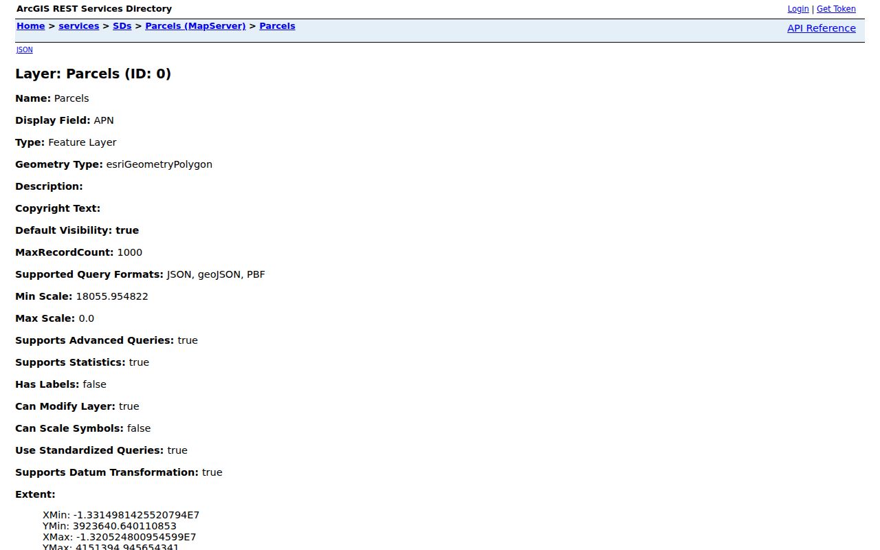
The parcel screenshot keeps an open GIS result from being overstated as a named resident record.
Oxnard Neighbors: Repeat Parcel Checks
Run the property trail one parcel at a time. Use the Ventura County tax search to convert an address to an APN, then the Assessor Property Search for values and any lawfully displayed owner or assessee information. Keep situs and mailing addresses separate. A different mailing address may reflect a trust, another property, or preference; a matching address still does not prove every occupant.
Next, use the Ventura County Recorder Self-Service index by grantor or grantee. The county calls it a guide to the underlying record and recommends spelling variants. Find the acquisition deed by document number, date, APN, and legal description. A deed of trust is financing, not necessarily title. Search the seller as an earlier grantee and reconcile the legal description each time.
The handoff is address, APN, parcel, Assessor record, recorded party, then role check. The Recorder's online cutoff is unverified, so a gap leads to a kiosk, counter request, or focused public-record request. Ownership records do not identify renters, children, visitors, or every neighbor.
Find Oxnard's Civic Neighborhood Layer
Oxnard Neighborhood Services coordinates INCO, helps residents form councils, and publishes weekly packets. The public Neighborhood Locator and Map Tour adds boundaries, activity status, and chair or role emails when supplied. These contacts identify civic geography, not households or members.
The Neighborhood Councils directory gives the council framework and meeting path. INCO consists of active neighborhood chairs and a five-member executive board; its regular meeting is listed for the first Wednesday at 6 p.m. in Council Chambers. A chair or packet participant holds a civic role, not proof of residence at every address discussed.
Neighborhood Services
300 W. Third St.; (805) 385-7447; neighborhoodservices@oxnard.org. Supports council formation and civic connections.
INCO and Council Materials
(805) 385-7424. Packets, meetings, boundaries, and supplied chair contacts offer context, not a private roster.
The council directory image shows a civic index, not a household list.
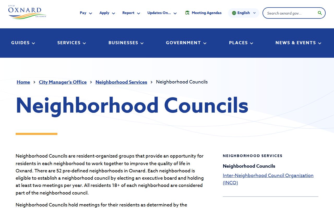
Use the locator for geography, not a list of block residents.
Oxnard's 52 Councils and 56 Planning Areas
Two Oxnard counts describe different systems. Neighborhood Services uses 52 predefined areas that may establish councils; Planning recognizes eight communities and 56 planning neighborhoods. The numbers are not meant to match. One tracks resident-organized civic participation; the other supports planning and map analysis.
Use the city street, jurisdiction, neighborhood, zoning, and General Plan maps for land-use geography, the Neighborhood Locator for council activity, and the parcel layer for the legal lot. A postal Oxnard label can cross an incorporated boundary, so it does not prove which permit or council system applies.
Request Voter Data for Oxnard Neighbors
California's My Voter Status service is a personal authenticated lookup. It asks for first name, last name, date of birth, California driver-license or ID information, and the last four Social Security digits. It checks that person's registration, not an Oxnard block.
Block-level evidence follows the California Secretary of State voter-file request. Qualifying purposes include election, scholarly, journalistic, political, and approved governmental work. The application requires identity, use, geography, file choices, delivery, and signature. Commercial use is prohibited. Ventura County's Street Data Extract is an application product, not an open street browser.
- Use the personal lookup only for the person whose credentials are being checked.
- If the purpose qualifies, apply through the state or county route, provide the required identification and use details, and request only the geography and files needed.
- Read any result as registered-voter evidence. Protected voters, confidential addresses, preregistered minors, and excluded identifiers remain outside the public output.
A voter file can add a lawful address clue, never a complete household list. Safe at Home participants use a confidential path, and the restrictions remain even when many records return.
Use Oxnard Neighbors Permit Records as Clues
Permits and planning files explain parcel activity, but identify roles rather than residents. Oxnard's building-record form can request site or plot plans, floor plans, structural or foundation details, historic property street files, sign structures, elevations, and other records. Online permit data covers the current and preceding four calendar years. Older files may need the detailed request, fax, or counter process. Processing is typically 7 to 14 working days; plan-copy permission can take 30 days, and files may not exist.
Use the City of Oxnard building-record route for incorporated parcels. Planning records may show an applicant, owner, representative, or entitlement; a business tax certificate may show a business name and address. None proves a neighbor or resident. For an unincorporated parcel, use Ventura County Citizen Access.
The permit image shows a role clue, not occupancy. Check jurisdiction first.
The permit image is a role clue, not an occupancy result. Pair it with the parcel and Recorder trail before describing any relationship to an address.
Build an Oxnard Block History
A block search can serve family history, reconnecting, estate and heir work, property curiosity, civic research, or safety awareness. For a past household, shift from current parcels to dated directories, census schedules, newspapers, deeds, obituaries, or probate. The 1950 census is the newest public population schedule under the 72-year rule.
The Museum of Ventura County archive report documents a 93-year Oxnard Press-Courier microfilm run. Newspaper notices can fill gaps when directories omit women, children, renters, or mobile workers. Search a known address and year for community, school, business, death, and estate notices. A dated clue does not prove continuous residence.
Compare Oxnard Official and Commercial Neighbor Tools
Official sources and generic commercial neighbor tools serve different purposes. County systems have a custodian, field set, and access rules. Commercial compilations may be quick, but can be stale or merge similar names. Treat a commercial result as a lead, never as a replacement for the source office, legal description, case number, or dated civic record.
| Source type | Useful strength | Important limit |
|---|---|---|
| Parcel, tax, and Assessor records | Current parcel identity, situs, values, and lawfully displayed ownership clues | Owner or mailing data does not prove occupancy; the open layer omits owner names |
| Recorder and approved voter channels | Dated recorded interests or registered-voter evidence under a defined purpose | Neither is a complete household directory, and access controls exclude sensitive records |
| Neighborhood and civic sources | Boundaries, meetings, public contacts, and community context | No comprehensive member or household roster |
| Generic commercial compilations | Convenient leads assembled from mixed sources | Source age, role, and identity matching may be unclear |
The safer comparison is traceable custodian evidence versus an unverified summary. Keep the URL, date checked, APN or document number, and exact role attached to each clue.
Protect Privacy Around Oxnard Neighbors
Land records generally do not list renters, children, visitors, or every household member. DMV address data is protected by federal and state law, while utility and delivery records are not public neighbor lists. Courts restrict juvenile, adoption, mental-health, and other sensitive matters. A missing name can be a privacy boundary, not proof of absence.
California's Safe at Home program offers a substitute address, mail forwarding, and confidential voter registration for qualifying people facing violence, stalking, abduction, abuse, or trafficking. It cannot erase information already public. Voter releases omit driver-license or state-ID numbers, Social Security digits, unique identifiers, and signatures.
Anti-harassment. Oxnard neighbor records are for lawful family, estate, civic, property, and safety purposes. Do not publish sensitive addresses, contact protected participants, evade an access control, stalk, threaten, dox, or harass anyone. An address trail is never an invitation to watch or pressure a person.