
Oxnard Records for Previous Residents
An Oxnard address has several record clocks. Deeds show transfers, directories show a published household or business presence, census schedules show a dated household snapshot, and building files show changes to the structure. The Ventura County Recorder Self-Service entrance is a guide to the grantor and grantee index, while the Clerk-Recorder office supplies the counter and appointment context. A useful era map keeps those channels from being treated as one continuous resident roll.
| Source | Years It Covers | Where Held | What It Shows |
|---|---|---|---|
| Recorder deeds and index | County framework from 1873; online cutoff unverified | Ventura County Clerk-Recorder, Self-Service, appointment kiosks | Grantor and grantee entries, dates, types, legal descriptions, and images when obtained |
| Early county books and indexes | Separate early books; general grantee indexes from 1916; consolidated Official Records from 1920 | County holdings and the state historical-records guide | Recorder number or title, names, volume, page, and date |
| Oxnard and Ventura directories | 1929; 1930-31; 1934; 1941-42; selected 1951-1980 editions | MVC, NARA, FamilySearch, and subscription scans | Name, address, street, and numerical-index clues |
| Telephone directories | September 1947-April 1951; 1952-1954; 1955-1957; 1958-1959; 1960-1961; 1962-1963 | Library of Congress digital collection | Street, number, telephone, and name listings |
| Federal census | Public through 1950 under the 72-year rule | Census schedules and library databases | Dated household snapshots |
| Building files and Sanborns | Permits online for the current and prior four calendar years; Sanborn sequence 1900, 1903, 1906, 1912, 1929, corrected to 1950 | Oxnard Building and Engineering, LOC, and library archives | Alterations, footprint, use, materials, stories, and outbuildings |
No row promises an unbroken run. The Local History Room does not publish a complete shelf inventory or exact local city-directory years, and the Recorder does not publish the online index cutoff on the accessible pages. Preserve those gaps while using the strongest dated source for the question at hand.
Oxnard Street Records for Previous Residents
Begin with APN-first normalization, not an old street string. The Ventura County Treasurer-Tax Collector WebTax search accepts a street address and can supply an assessor parcel number when one exists. An APN is the county's indexing key for a parcel. Assessor materials show the pattern XXX-X-XXX-XXX, which is more stable for record matching than punctuation, unit labels, or a changed street name.
- Enter the full address in WebTax and save the APN, situs text, and any map or tract clue returned with the result.
- Run the APN through Ventura County Assessor Property Search, keeping the physical situs address separate from the owner's mailing address.
- Open County View by APN or Assessor situs autocomplete to compare parcel shape, tract, map, and transfer fields.
- Carry the legal description, lot, block, tract, and any recorded map reference into every older search.
Situs means the physical location of the parcel. A mailing address is where tax notices go. Matching them does not prove occupancy, and a different mailing address can reflect a trust, an absentee owner, or a mailing choice. Historic name changes also matter: Colonia Road became Camino de la Raza in 1992 and Camino del Sol in January 1994. Search all three names, but do not turn that documented name sequence into a claim about an Oxnard-wide street-renumbering event. No authoritative citywide renumbering year was located.
Note: A matching owner mailing address and situs address can narrow a search, but neither one proves who lived at the parcel.
Trace Oxnard Previous Residents Through Deeds
Once the APN is stable, shift from the map to the Recorder's party index. The Self-Service disclaimer calls the index a card-catalog guide, recommends spelling variants, and directs users to Search Real Estate Index for filings in which a party is grantor or grantee. A deed of trust records financing and is not, by itself, a title transfer. The full instrument or certified copy is a separate step.
- Capture the current assessee or owner clue, APN, legal description, and likely acquisition date from the Assessor and parcel record.
- Search that person or entity as grantee, then match the instrument date, document type, legal description, and APN.
- Read the deed image when available. Record the grantor, the exact parcel wording, and the instrument number before moving back.
- Search the seller or other grantor as a grantee in an earlier transaction. Repeat the same comparison for each link.
- When the online search ends, use the Ventura or Thousand Oaks appointment kiosk, counter material, or an older book or reel where the custodian directs.
- Grantor
- The person or entity conveying an interest in the property.
- Grantee
- The person or entity receiving that recorded interest.
- Chain of title
- The linked sequence of recorded transfers used to follow ownership backward.
- Legal description
- The recorded lot, block, tract, or metes-and-bounds description that can identify land when a street label changes.
Ventura County formed in 1873. The California historical county-records guide describes early separate instrument books, general grantee indexes from 1916, and consolidated Official Records from 1920. Those are record-keeping layers, not a published online cutoff. The accessible Recorder application did not expose its exact start year, so no cutoff is assigned to the Oxnard deed trail.
Oxnard Building Records Beyond Recent Permits
Permits date construction and alterations, not every move into a house. Oxnard's online permit data covers the current and preceding four calendar years. Older address research goes through the Building Records Research request, where the record-type choices include a Property Site Plan, Floor Plan, Structural Details, Foundation Plan, Historic Property Street File, Sign Structure, Elevations, or another specified item.
The Historic Property Street File is an easy choice to miss when a recent dashboard has no useful hit. The city documents a typical 7-14 working-day processing time. Plan-copy permission can take 30 days. Files may not exist, and viewing is on premises, so a request should name the address, the time period, and the precise record type.
| Recent online permit data | Current and preceding four calendar years |
|---|---|
| Detailed request | Typical processing is 7-14 working days |
| Plan-copy permission | May take 30 days |
| Viewing | Files are viewable on premises; some files may not exist |
| Copies | 8.5 x 11 or 8.5 x 14: $1 per page; 11 x 17: $2 per page |
Note: A missing permit file is a prompt to compare maps, directories, deeds, and aerials, not proof that a structure was absent.
Oxnard Previous Residents: Sanborn Address Clues
Sanborn fire-insurance maps can anchor a building when a deed names land but says little about the structure. Local research identifies Oxnard editions for 1900, 1903, 1906, 1912, and 1929, plus a 1929 edition corrected to 1950. Sheets can show a footprint, materials, use, stories, and outbuildings. They are building evidence, not a complete list of people who lived there.
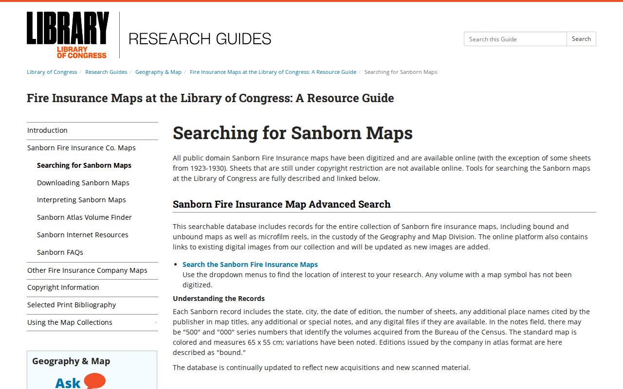
The Library of Congress Sanborn collection and its map-search guide help separate city, edition, and sheet before reading the image. That search route provides the catalog-first context for the Sanborn image.
A local preservation project scanned transparencies and made archival-paper prints for Oxnard Public Library Special Collections. Exact Oxnard sheet-level catalog verification remains a research gap, so confirm the city, edition, sheet, and address context before treating a map label as final.
Reconstruct Oxnard Past Households
Deeds answer an ownership question. Previous residents often appear only in an address-first directory, a telephone book, a federal census schedule, an obituary, or a probate file. The fuller collection discussion belongs in the Oxnard city directory collection, but the backward address workflow starts with the 1961 Polk structure: an alphabetical section, a street-and-avenue guide, and a numerical telephone directory.
Verified directory evidence is scattered. NARA's city-directory holdings list county books for 1930-31 and 1934, and the FamilySearch catalog records a 1941-42 Ventura County directory. Subscription scans add selected Oxnard years through 1980. The exact Local History Room shelf run is not published. A dated scan or staff-confirmed volume is stronger than an assumed annual run.
- Choose the directory year nearest the address question and search the street guide or numerical section first.
- Record the exact name, street number, locality code, occupation or business classification, and page citation.
- Pair that result with the nearest public census year. Reconcile initials, spouse, occupation, address, and nearby households instead of merging names.
- Use an obituary or probate record to test a death, estate, or family connection after the household leaves the address.
A criss-cross directory is an address-first publication that links a street and number to a named entry. An enumeration district is a geographic area assigned to a census enumerator. Neither creates a continuous year-by-year resident list.
Lawful house history. Oxnard house-history research is suited to family history, reconnecting, estate and heir work, and personal property curiosity. Do not use a past-resident trail to stalk, threaten, harass, or publish a living person's sensitive details.
Oxnard Previous Residents in the Press-Courier
The Museum of Ventura County Research Library and Archives adds a household layer that land records cannot. MVC reports microfilm for 15 local and regional newspapers reaching 1851, including a 93-year Oxnard Press-Courier run, along with more than 42,000 photographs and incorporation files from 1873-1970. Search a known address or year for obituaries, marriage and social notes, school events, business notices, and wartime or community stories.
The MVC collections page describes the archive, while its published inventory records the Press-Courier run and photographic holdings. A newspaper clue is strongest when its date, address, relationship, and another record point to the same household.
Note: A newspaper item is strongest when its date, address, relationship, and another record point to the same household.
The Oxnard FamilySearch Center listing identifies public volunteer help, Spanish-speaking help on Tuesdays and Wednesdays, and technology access for otherwise restricted resources.
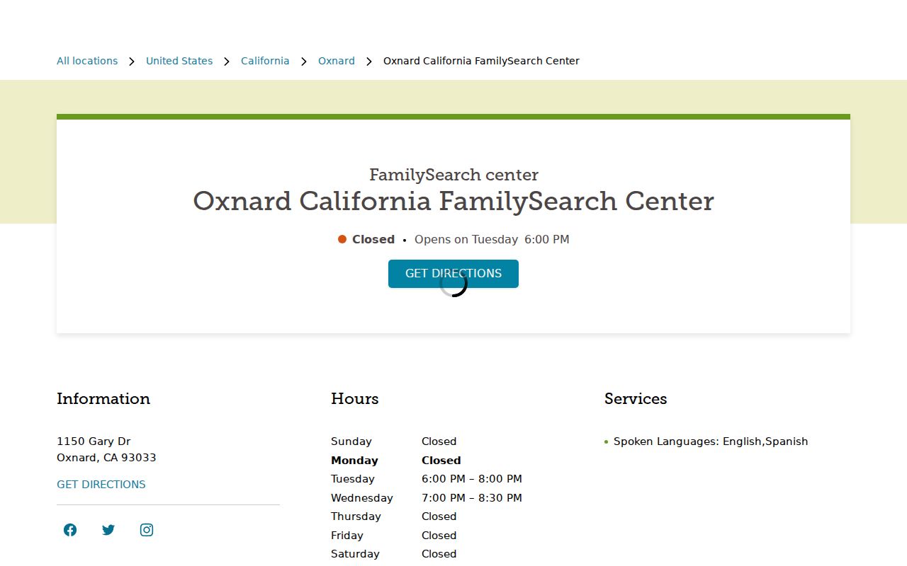
That family-history support can help reconcile a directory spelling, a census household, and a local newspaper item without pretending that one name hit proves identity.
Oxnard House History at 201 S. D Street
The official assessment for 201 S. D Street is a reproducible Oxnard house-history model. It joined the Oxnard Local History Room landmark file and 1981 survey with original drawings and Achille Levy papers at MVC, Sanborn maps, and UCSB aerials. The aerial sequence covers 1927, 1941, 1952, 1959, 1963, 1966, 1970, 1975, 1977, 1989, 1994, and 2002.
- Fix the modern address, APN, legal description, and current parcel shape before reaching for an old map.
- Ask the Oxnard Local History Room for the landmark or survey file and record what the file actually contains.
- Compare MVC drawings and papers with the Sanborn footprint, then line up the dated aerial views.
- Use directories, the Press-Courier, deeds, and permit requests to test people and ownership claims separately.
- Mark each gap. A worked local study is a method for corroboration, not proof of a universal chain endpoint or every household.
The result is a disciplined backward trail: address to APN, APN to legal description, legal description to recorded transfer, then dated household and building clues. When a source fails, the next best record is chosen by era rather than invented to fill the gap.